|
|
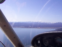
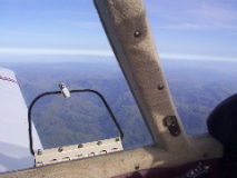
The canyon to follow out to Chico
|
The canyon to follow out to Chico
|
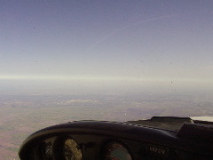
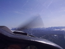
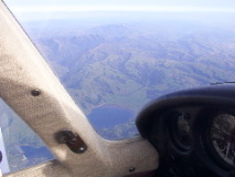
Haze, but that is Beale AFB in the distance.
|
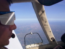
Mark, in the groovy white shades, somewhere near Mt. Diablo
|
Entrance to the SF Bay (too far away to see the the golden gate is in there somewhere), center of the picture, Mt. Diablo in the foreground
|
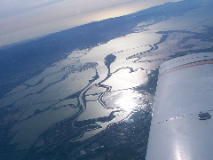
The Delta from 10,500 feet
|
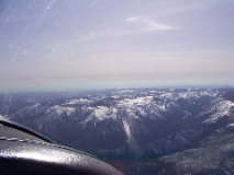
Uh, some mountains. Hard to find, but took this for a United 757 that was flying under us.
|
Uh, some mountains. Hard to find, but took this for a United 757 that was flying under us.
|
Hard to find, but took this for a United 757 that was flying under us.
|
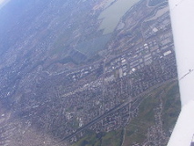
Took this for a United 757 that was flying under us. Just about center picture, at the left edge of the right lower body of water.
|
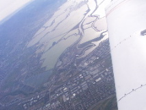
Took this for a United 757 that was flying under us. In this one is is just below and right of where the glare is.
|
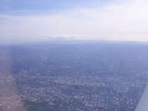
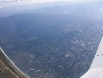
The view of SJC from 10,500 about 10 miles east of the field.
|
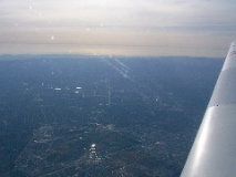
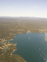
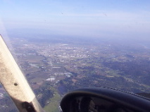
South valley, Almaden, Los Gatos, etc, across to the Pacific Ocean from about 10,000 feet.
|
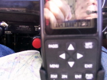
Trying to get the groundspeed during decent. That's 164knots across the ground on the lower left of the display.
|
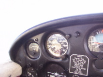
... at the same time, showing about 155MPH (about 135knots) indicated airspeed on the decent.
|
South valley, Almaden, Los Gatos, etc, across to the Pacific Ocean from about 10,000 feet.
|
WVI from about 7000feet, 10NM north.
|
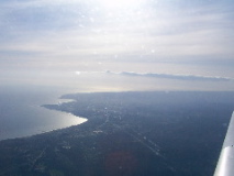
Up the coast towards Santa Cruz before landing WVI to finish off the day.
|