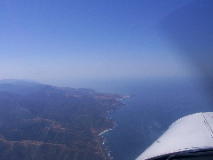
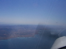
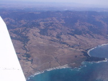
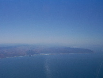
Big Sir coast
|
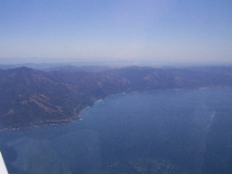
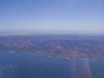
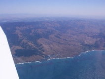
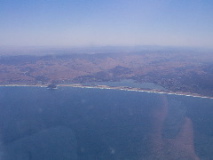
Big Sir coast
|
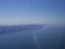
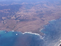
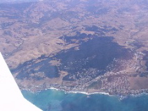
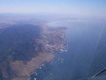
Big Sir coast
|
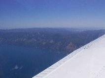
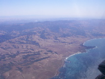
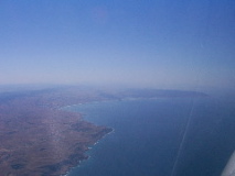
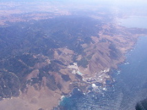
Big Sir coast
|
Big Sir coast
|
Big Sir coast
|
I'll have to find the name of the lighthouse out on the point
|
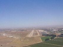
Nice airstrip. Charts show it as closed, but I can't understand why, it looks in great condition
|
Nice airstrip. Charts show it as closed, just north of San Simeon
|
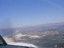
San Simeon
|
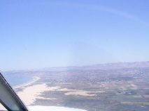
Cambria
|
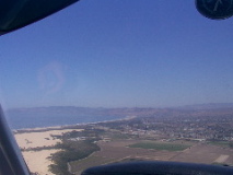
Morro Bay
|
Morro Bay
|
Morro Bay
|
Nuclear Power station near Morro Bay
|
Nuclear Power station near Morro Bay
|
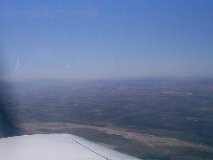
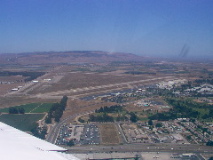
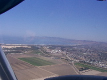
Santa Maria (SMX) just right of center
|
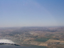
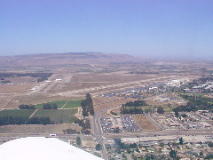
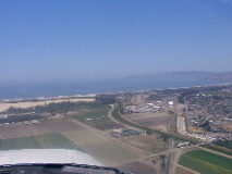
Santa Maria (SMX) extended downwind for 30
|
Santa Maria (SMX) extended downwind for 30
|
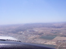
Santa Maria (SMX) downwind for 30
|
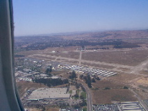
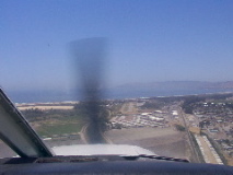
Turning base 30 Santa Maria (SMX)
|
Turning base 30 Santa Maria (SMX)
|
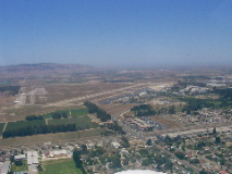
Turning base 30 Santa Maria (SMX)
|
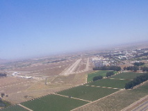
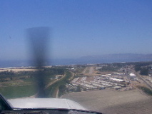
Turning final 30 Santa Maria (SMX)
|
Final 30 Santa Maria (SMX)
|
Oceano (L52) a few miles out, center, past the edge of the sand.
|
Oceano (L52) a few miles out, center, past the edge of the sand.
|
Base for 29 Oceano (L52)
|
Turning final for 29 Oceano (L52)
|
Final for 29 Oceano (L52)
|
Final for 29 Oceano (L52)
|
Final for 29 Oceano (L52)
|