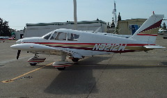
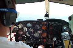
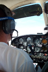
Harry's old PA28-235. Myself and Harry up front, and Mark along in back (taking all the pictures). I have a training hood on, so didn't see any of this stuff until these pictures, I just saw the panel.
|
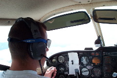
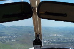
Me flying partial panel somewhere enroute, 7000ft. Note the high tech way to block off attitude indicator and directional gyro
|
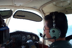
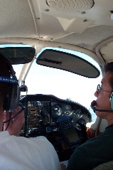
Harry Ishikawa, CFII, comparing my airway navigation to what his GPS shows
|
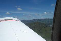
Moro Rock
|
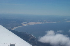
Pismo Beach
|
View of Moro Bay while in the hold for the ILS at San Luis Obispo (SBP)
|
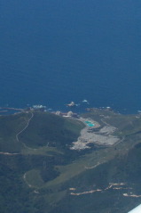
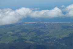
Prime ocean real estate, good place for nuclear power stations
|
Pismo Beach
|
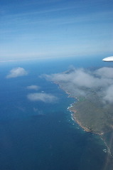
Coastline north of Pismo Beach
|
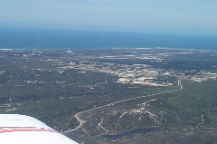
Vandenberg AFB out there, view while on a missed approach from Lompoc (LPC)
|
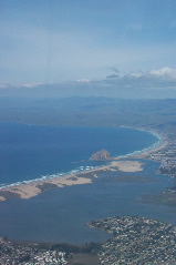
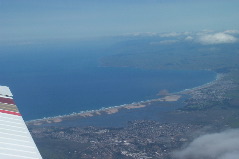
Moro Bay
|
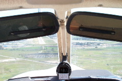
Shooting ILS into SBP, there was about 25-30knot quartering tailwind
|
Shooting ILS into SBP, there was about 25-30knot quartering tailwind, remember, I can't see any of this stuff outside
|
That big hill just off of the SBP airport
|
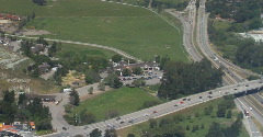
Madonna Inn
|
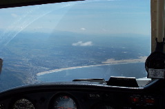
Getting down there on the ILS for SBP, was allowed down to minimums (thanks tower) then circle to land. Note the angle of correction for wind as the ILS is real sensative close in
|
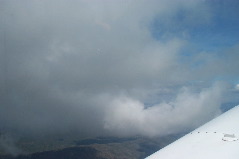
Clouds on the way out of SBP, we were about to go through
|
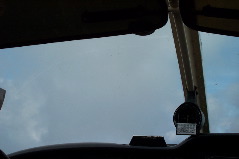
Near the top, I got to look up around this time, and see the little specs on the windscreen were bugs with ice frozen over them
|
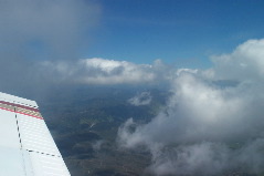
Some of the clouds out past Paso Robles (PRB) at 8000ft
|
Some of the clouds out past Paso Robles (PRB) at 8000ft
|
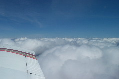
Some of the clouds out past Paso Robles (PRB) at 8000ft, in and out of the tops, with icing, for about 30min
|
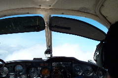
Panel shows 8000ft, level, so I guess this is somewhere on the way back, in the clouds
|
|
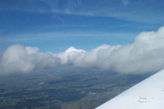
Tops, in and out at 8000ft
|