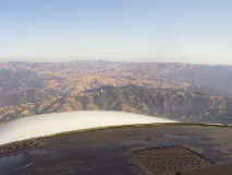
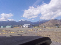
Lick Observatory, near San Jose, at the start of the trip.
|
|
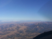
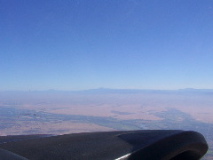
Just past Travis AFB on the way up
|
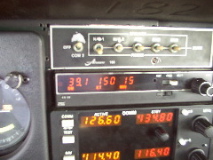
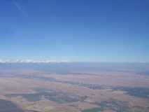
Just past Travis AFB on the way up, showing 150knots ground speed. Got up to 153 or so in a few spots.
|
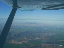
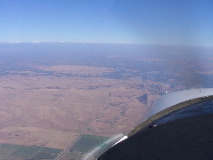
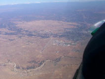
Sutter Butte off the right, Colusa Airport, just right of center.
|
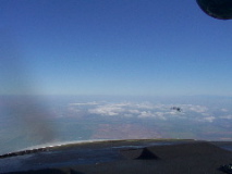
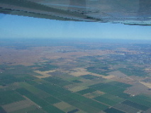
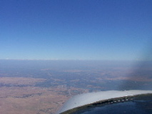
Only real clouds to be seen in the valley
|
|
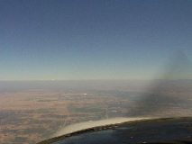
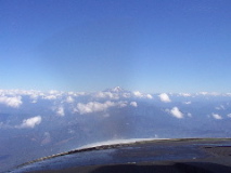
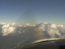
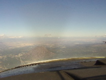
Shasta, way out in the haze, about 100 miles or so away still
|
No snow left on Mt. Lassen
|
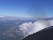
Clouds over the west edge of the valley
|
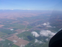
Red Bluff, about mide picture where the river crosses
|
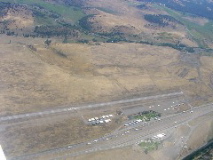
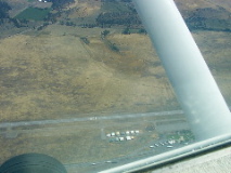
Red Bluff, airport is on the lower left
|
Red Bluff airport on the way up, from 6500 feet
|
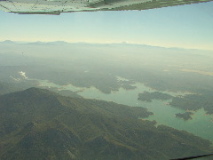
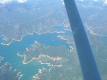
Over Shasta Lake, heading north, view to the right
|
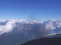
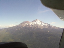
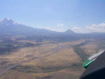
Over Shasta Lake, heading north, view of Mt. Shasta
|
Over Shasta Lake, heading north, view to the left
|
Over Shasta Lake, heading north, view to the left
|
Over Shasta Lake, heading north, view of Mt. Shasta
|
Heading north, view of Mt. Shasta
|
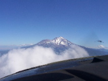
Heading north, view of Mt. Shasta, clouds about 1000 feet below
|
Heading north, town of Mt. Shasta ,Mt. Shasta to the right
|
Mt. Shasta
|
|
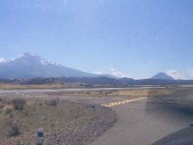
On the ground at Weed (O46), Mt. Shasta on the left
|
On the ground at Weed (O46), about all there is is the beacon, and a few hangers
|
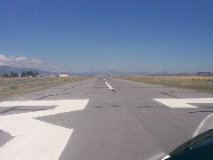
On the ground at Weed (O46), ready to go on runway 32
|
Turning downwind at Weed (O46), Mt. Shasta on the left, heading back home
|
Over Weed (O46), on the climbout
|
Over Weed (O46), on the climbout
|
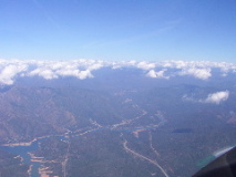
Heading south, decending over Shasta Lake
|